Bibliophilic Essay #6: The U.S.-Mexico Border

Pew Research reports that 61% of registered voters consider the question of immigration — an issue largely focused on the U.S.-Mexico border — very important in their consideration of which party or candidate to support. That long and shifting boundary has vexed world powers for a couple of centuries at least; there’s nothing new under the Sun Belt.
Arader’s maps illustrating that tortuous ebb and flow have enjoyed pride of place in the old salon of 1016 Madison, but as the resident bibliophile, it’s my pleasure to present some of the actual treaties and decrees that shaped and grew from the lines more-or-less faithfully represented on maps. This survey of laws is an homage to my recently-retired colleague Michael Foley Esq., lawyer-cum-cartophile, who for 14 years charted a fine course for his devoted clientele as well as for me. His passion for the mapping of the American South inspired my own. Thanks, Mike.
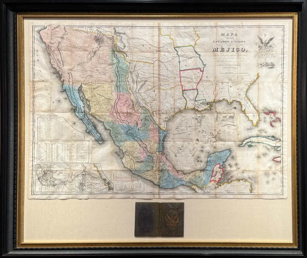
One can reach very far back indeed — to Columbus in 1492 or Cortés in 1521 — to trace the shifting borders of the Spanish Main, but for the sake of expediency we begin in 1762. The French were being whomped in the Seven Years’ War and, seeing that their territory was about to be ceded to Britain, made a secret agreement — the Treaty of Fontainebleau (3 November) — that transferred Louisiana to Spain, creating for nearly 40 years Spanish Luisiana. The secrecy angered Canadians that had emigrated down the Mississippi to New Orleans, assuming incorrectly that they were still in French territory. L’oops.
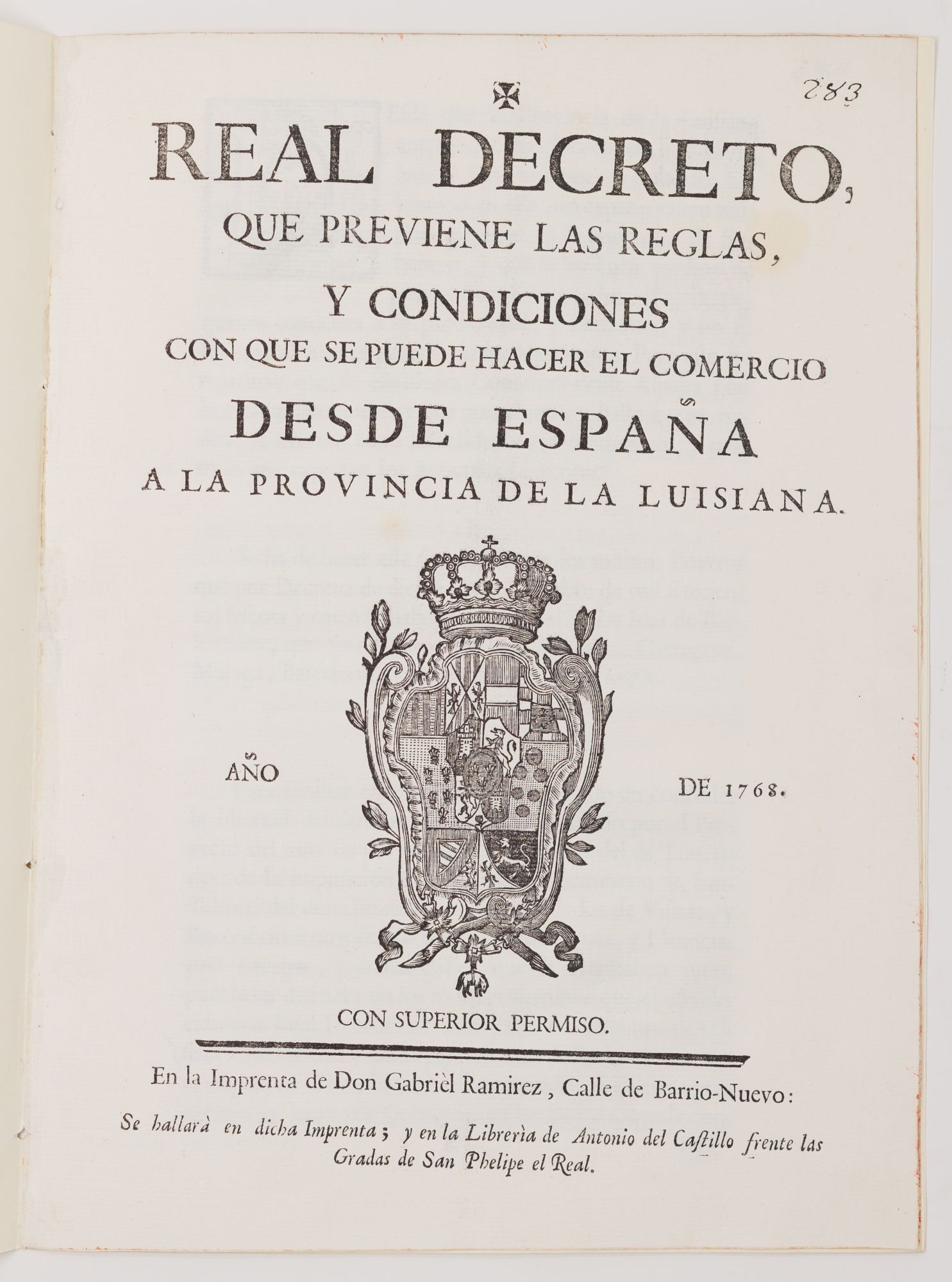
By 1768 tensions between the French and the Spanish led to our decree attempting to regulate trade (banning, in Art. II, “Vinos estrangeros,” corking French wine) and to ensure that majority-Spanish crews controlled shipping (Art. III). Finally a detachment of some 2,000 troops under the command of Alexander (Alejandro) O’Reilly, an Irishman by birth, was sent by Carlos III to quell the French rebellion.
The Spanish grasp on Luisiana only tightened when the United States emerged as their new neighbor; in 1784, Spain banned Americans from plying the Mississippi with trade or from using New Orleans as a port. For the U.S. to expand westward at all — Manifest Destiny is still a half-century off — an open Mississippi River (and outlet to the Gulf of Mexico) was economically indispensable. For the decade that followed, frustrated Americans along the eastern Mississippi protested violently, sending sparks toward two powder-kegs on a global stage.
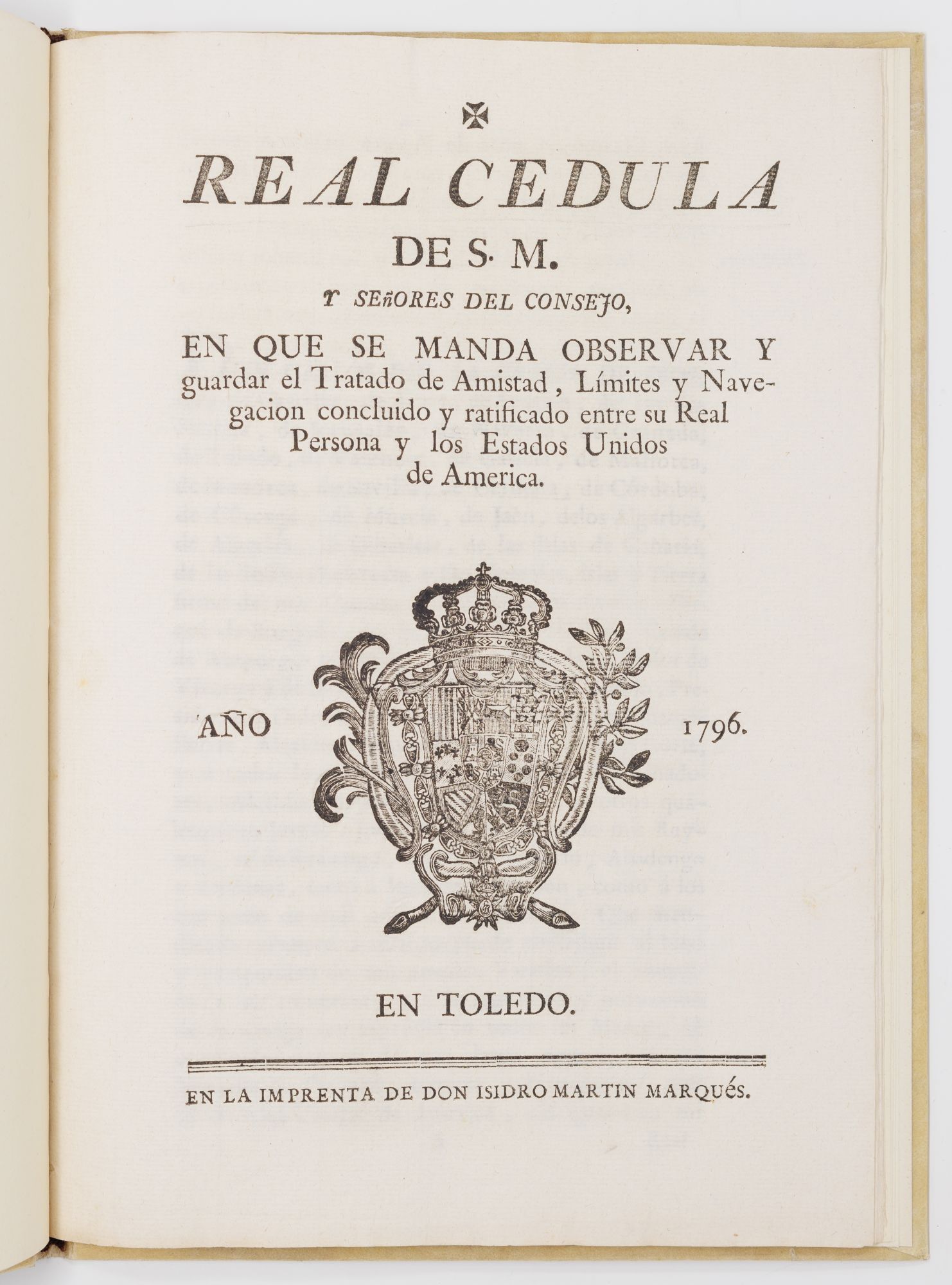
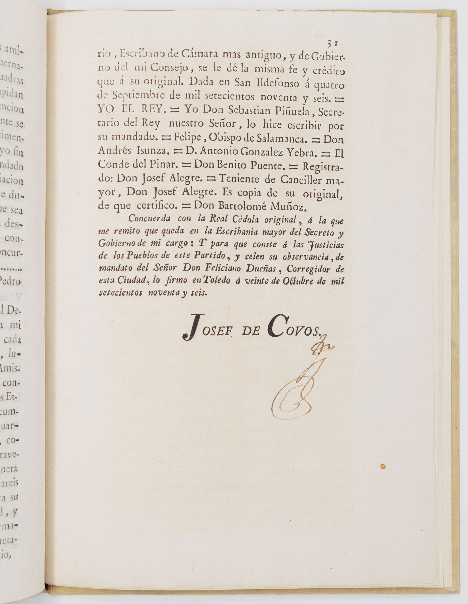
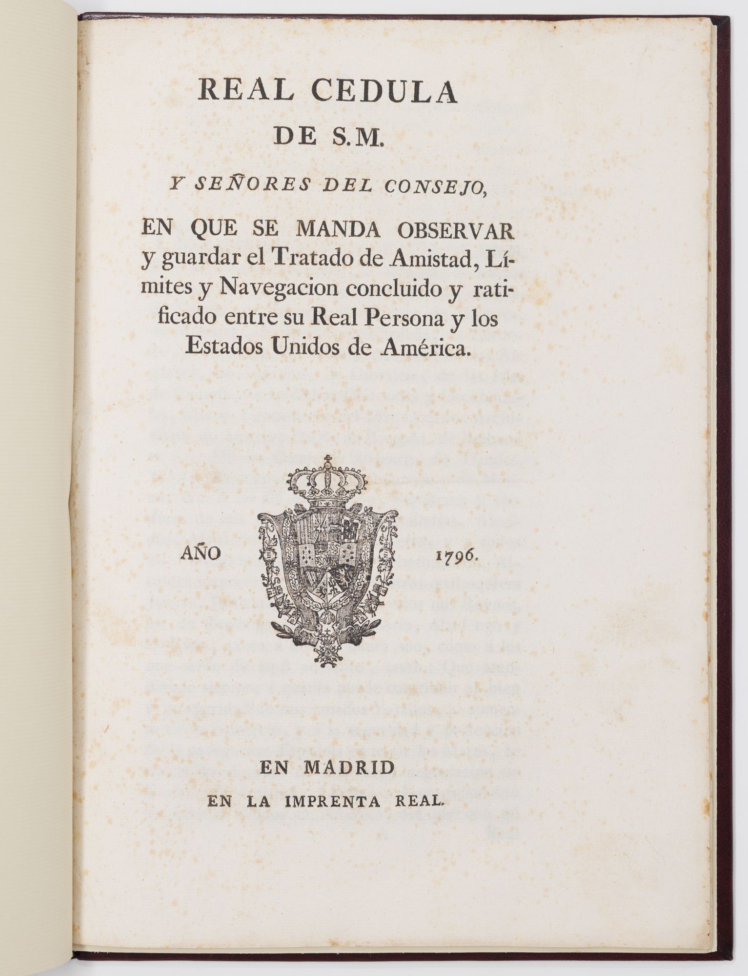
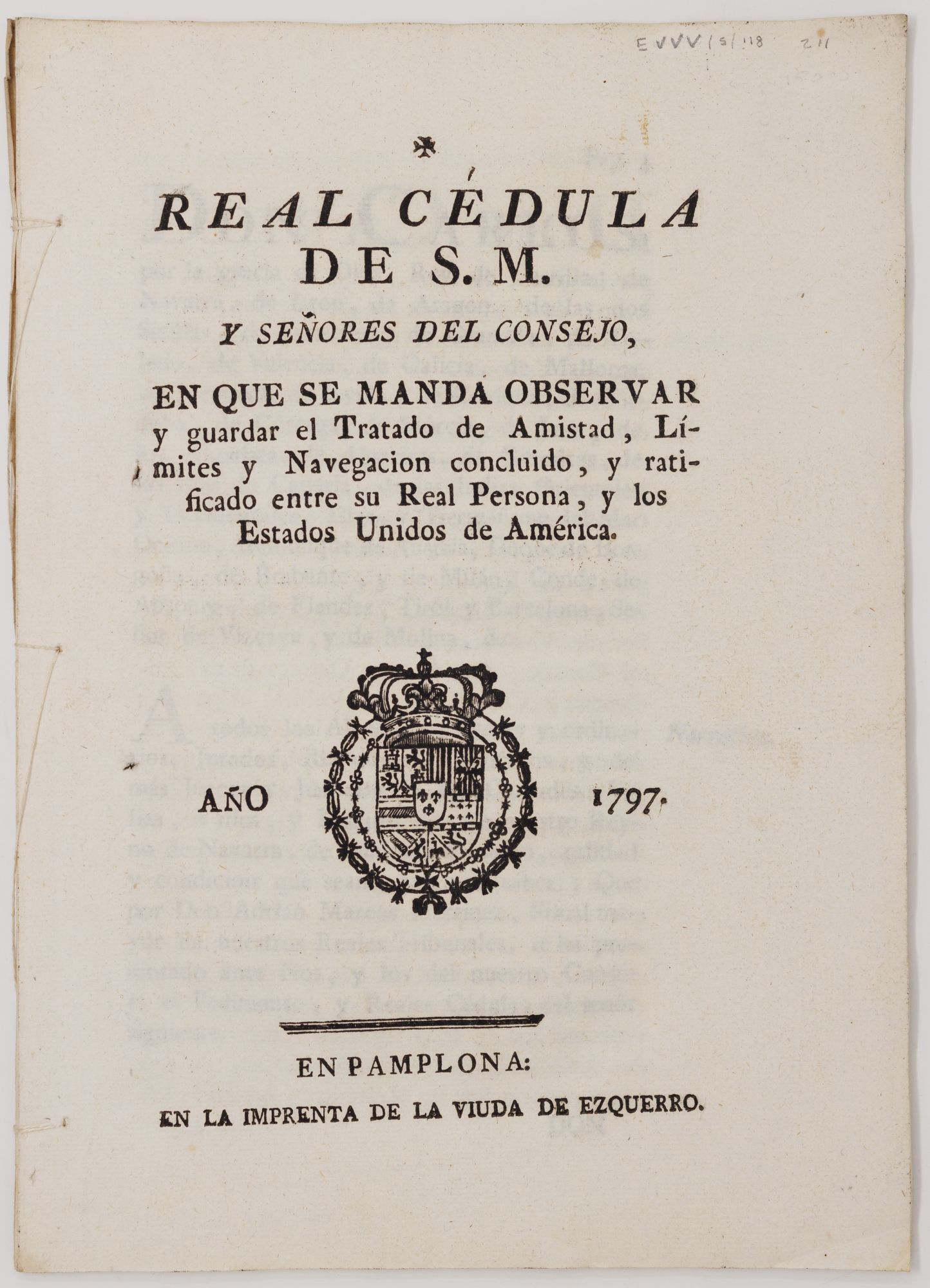
Resolution came with Pinckney’s Treaty in 1796, a major international coup for the United States, helped by Spain’s fear of an Anglo-American alliance. The treaty granted Americans free trade along the Mississippi and into New Orleans, and undermined Spanish pledges of military defense of Native Americans, making it far easier for Americans to kill and displace them. Arader holds three rather special examples of the treaty: a so-far unique Toledo printing (official and rubricated, above), the Madrid printing (ex-coll. Bruce McKinney), and the 1797 Pamplona expansion (one of three known) that specifies the mode of promulgating the treaty in the Americas.
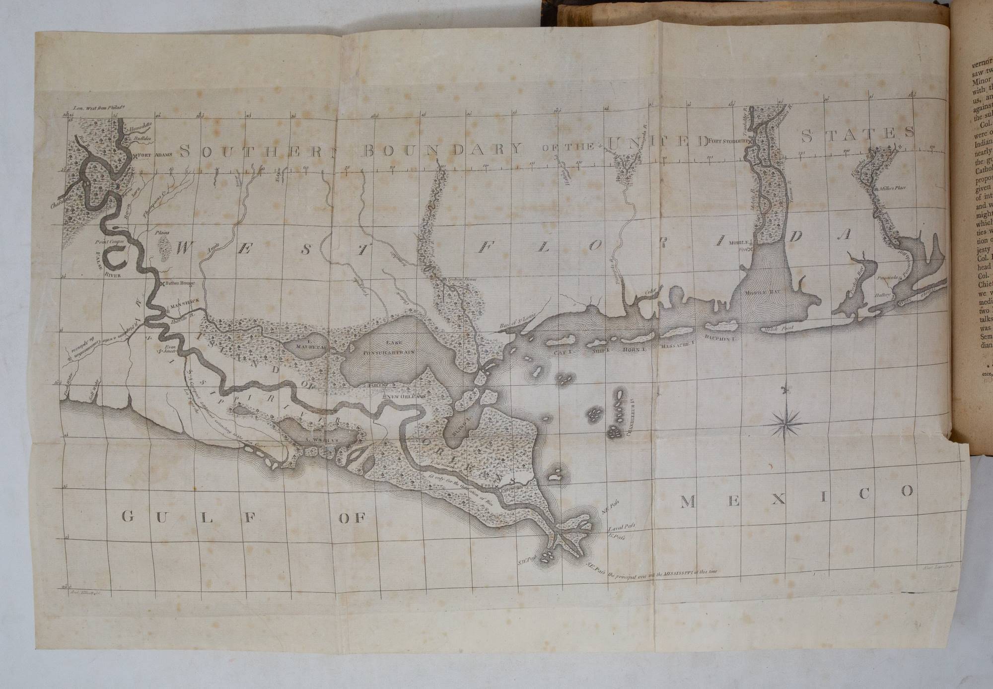
Spain gave up the ghost just a few years later; in 1800 Spain retroceded Luisiana to France just 3 years before the Louisiana Purchase. This inconveniently invalidated the survey of Andrew Ellicott, who from 1796–1800 surveyed “the boundary between the United States and the Possessions of His Catholic Majesty in America,” but the maps in his 1803 Journal — published in Philadelphia, good Quaker that he was — were crucial for the understanding of shifting borders along the Gulf of Mexico.
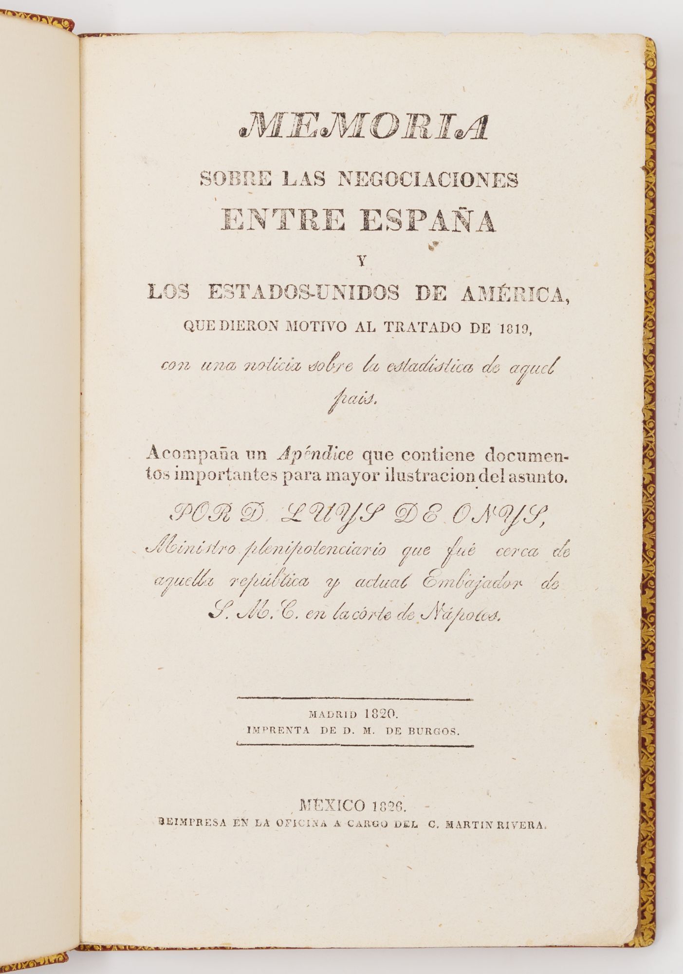
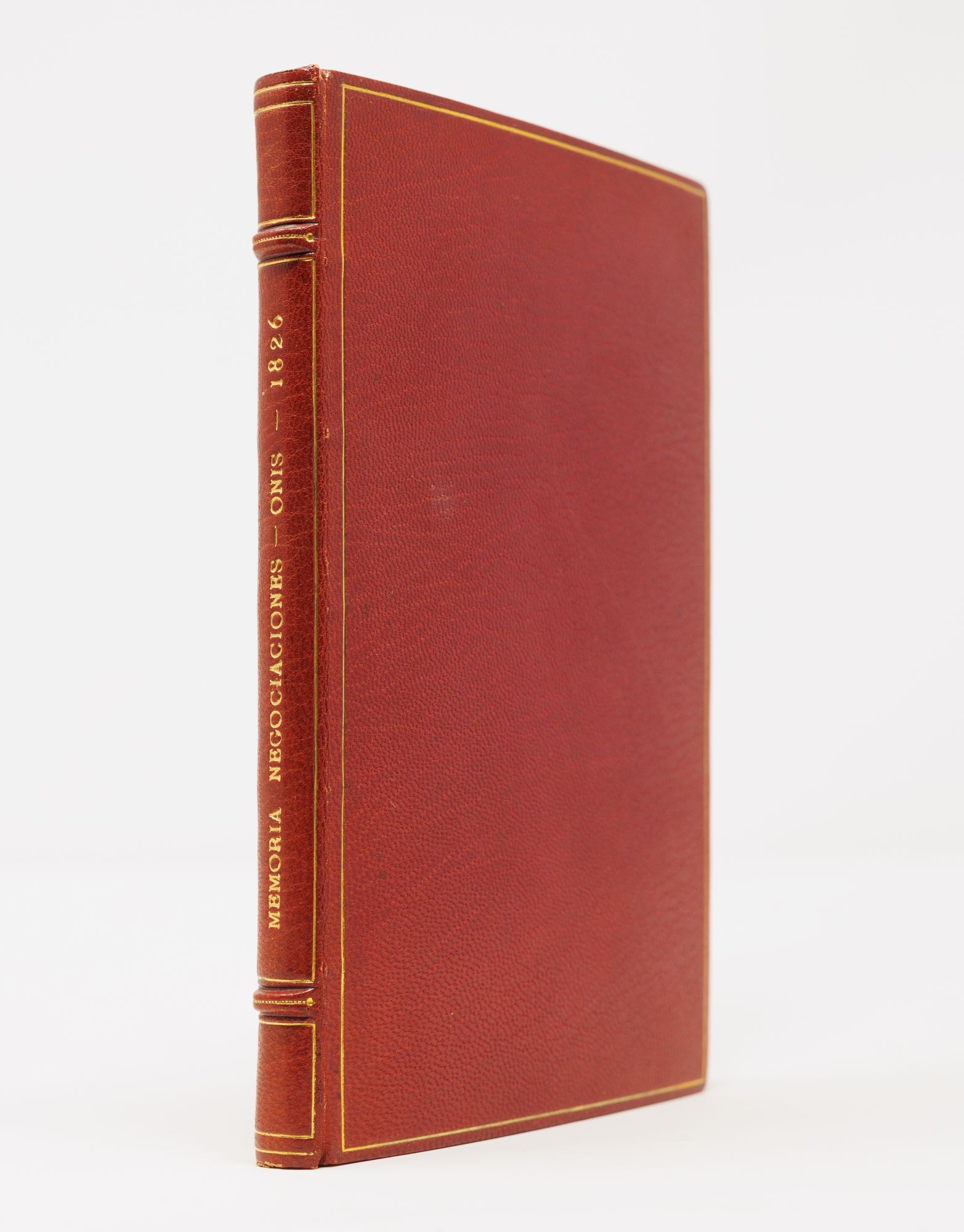
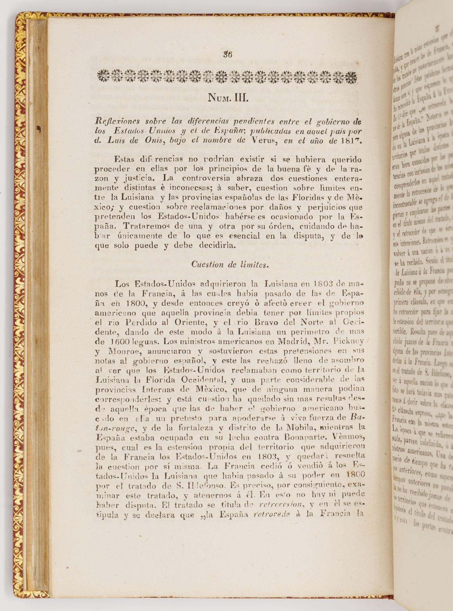
The last major inflection point of the border before Mexican independence was the 1819 Adams-Onís treaty, which granted to the U.S. Florida as well as the Oregon country, yielding for the first time an American spanning “from sea to shining sea.” Luis de Onís published his account of the (onerous) negotiations in Madrid in 1820, but once Mexico declared independence in 1821 (we have the best version in English, Langworthy’s edition, of the Mexican Constitution, with that of the state of Coahuila y Tejas appended) and found itself bound by the treaty signed by their former colonizers, they had a vested interest in learning what got them here. Ours is the first Mexican edition of Onís’s account, pointing the young republic toward its own historicization.
You might be forgiven for thinking that Mexico’s first trade agreement would be with her neighbor to the north, but persistent disagreement about the border — an inheritance of many of the treaties and decrees noted above — prevented a U.S.-Mexico commercial treaty until 1832. The United Kingdom, still sore about something I can’t recollect, beat us to it and concluded in 1827 Mexico’s first big European trade agreement.
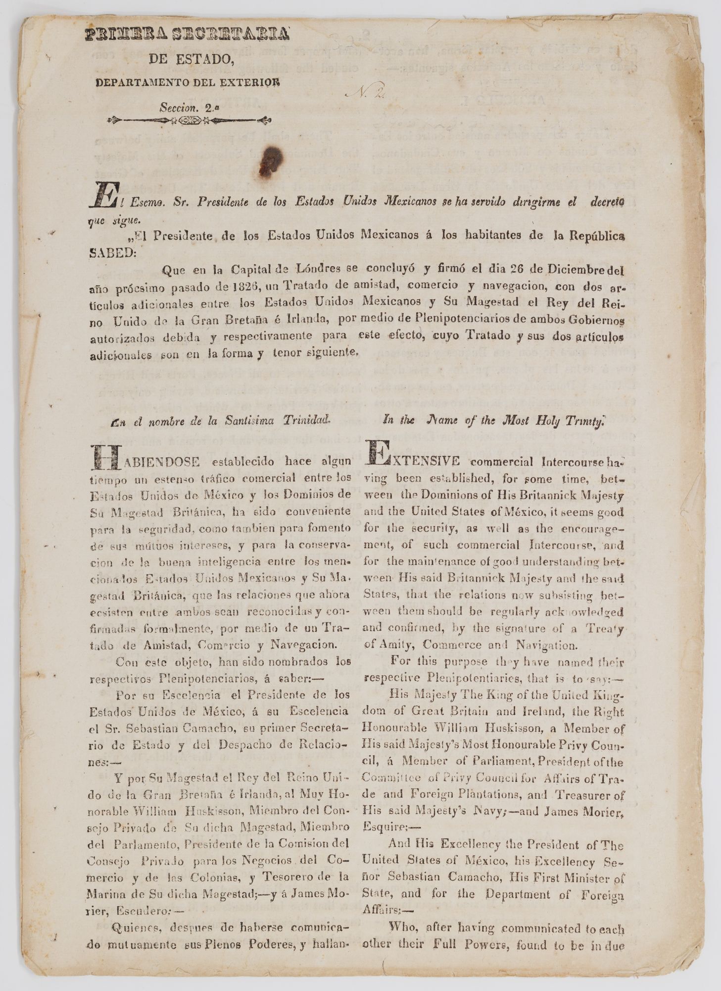
It was a triumph for the British Foreign Minister, George Canning, an advocate of free trade; Canning and his contemporaries advocated for “commercial conquest” rather than military force, which was needed in India and elsewhere. The document is quite rare, with an incomplete example at the LoC and complete examples only at UC Berkeley and in the Biblioteca Nacional de España.
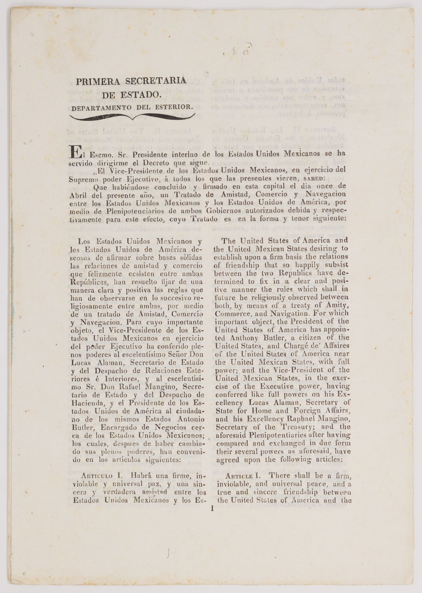
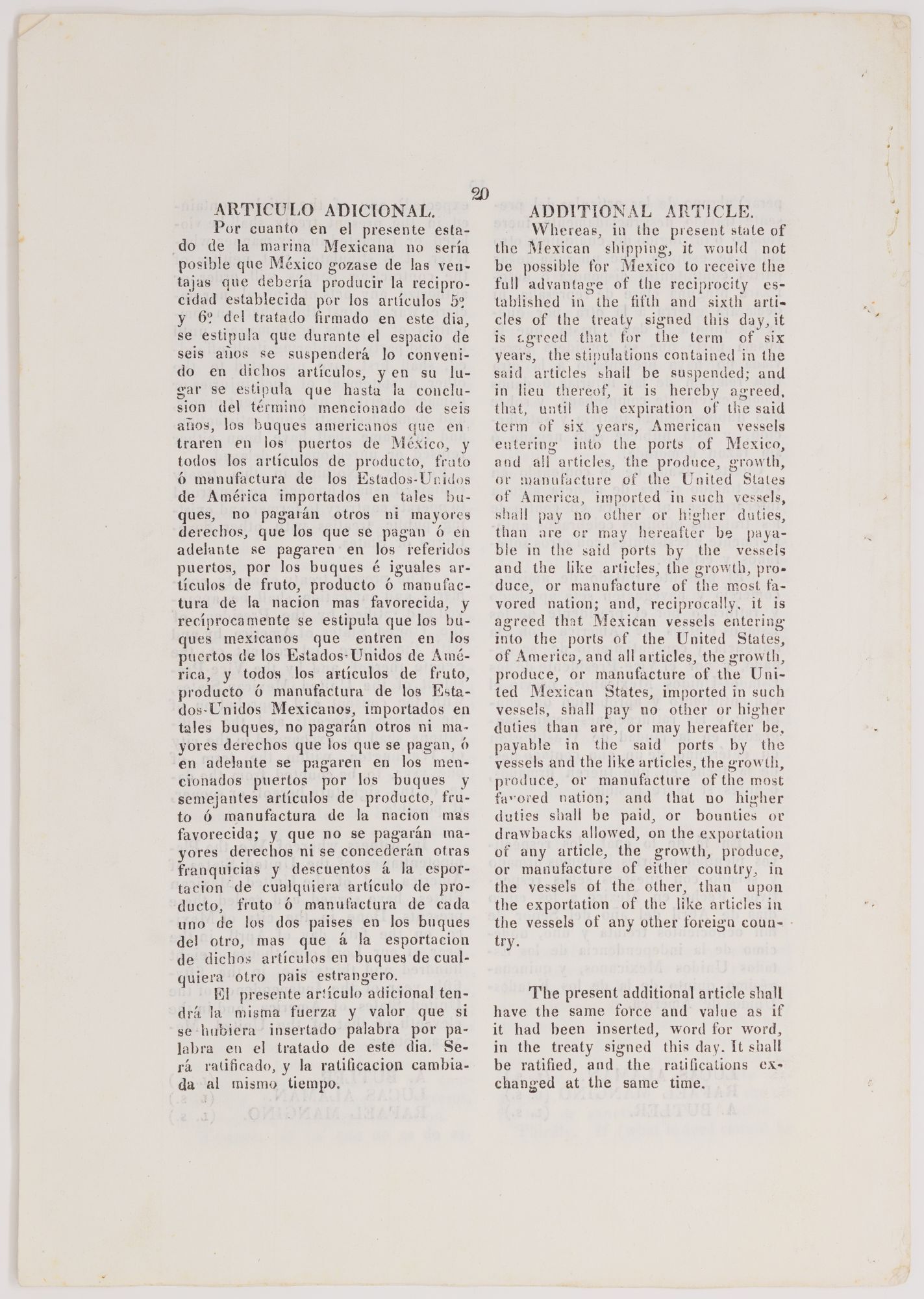
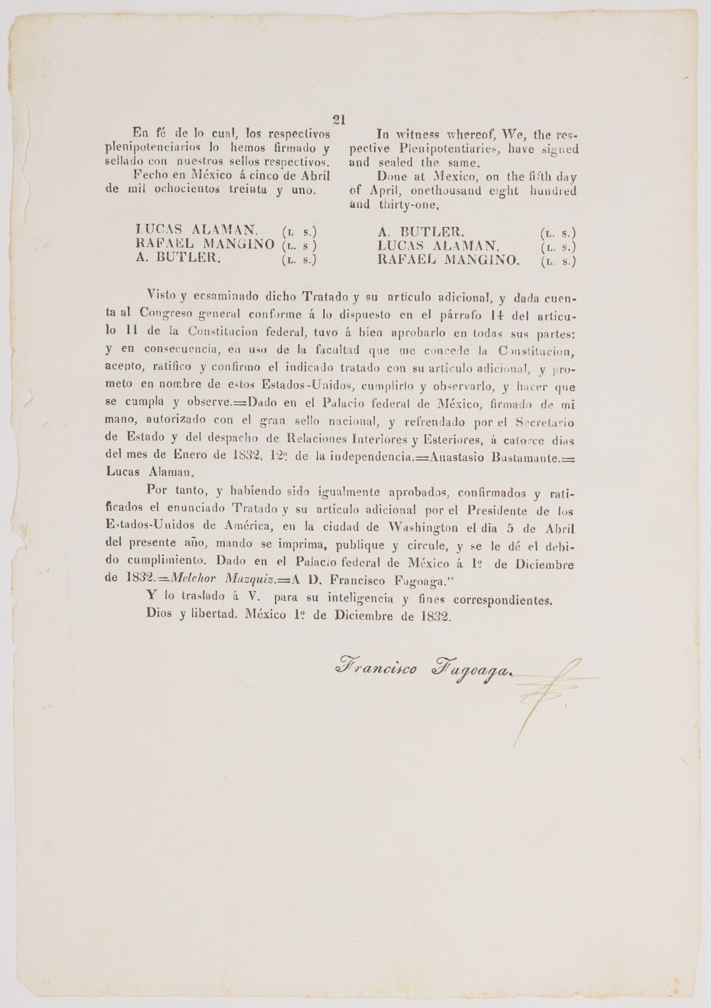
The treaty, printed in parallel Spanish and English (and rubricated by Francisco Fagoaga, secretario de Relaciones Exteriores), is the first to outline the countries’ military and commercial relations. As of 2024, Mexico has been the United States’ largest trading partner for three years running. The treaty is one of the first printed records of the free-trade principles that have long governed our relationship and gave rise to NAFTA. Only 9 examples of the agreement are to be found in institutional collections.
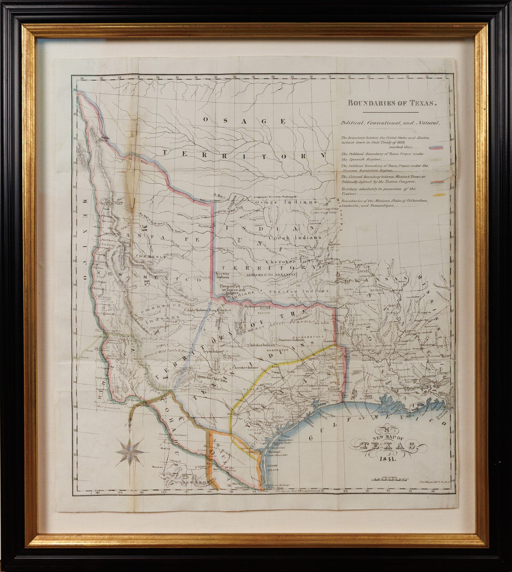
When Texas — led by Stephen F. Austin and his Old Three Hundred — seceded from Mexico 2 March 1836, the boundary question was complicated even further. Mexico never recognized the secession, and the republic’s own borders were never especially clear, since it claimed far more territory than it ever meaningfully controlled (everything’s bigger in the Republic of Texas). From 1838 a joint-Texian-American commission surveyed the border; the survey was submitted to Congress only in 1841 and published in 1842 with a report by Secretary of State Daniel Webster. Streeter calls the maps published in the volume “most important in Texas history,” defining as they do the then-republic and eventual state (Texas was annexed by the U.S. in late December 1845).
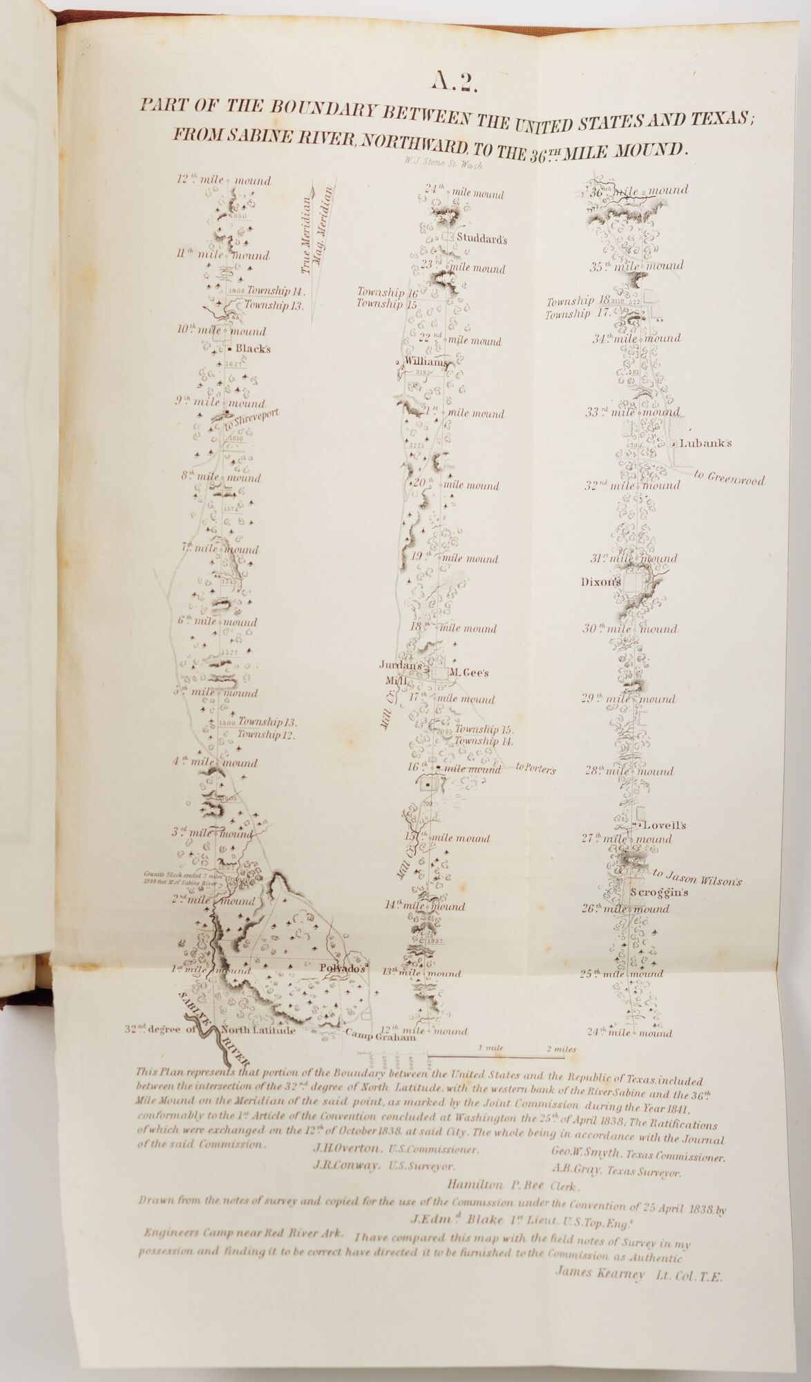
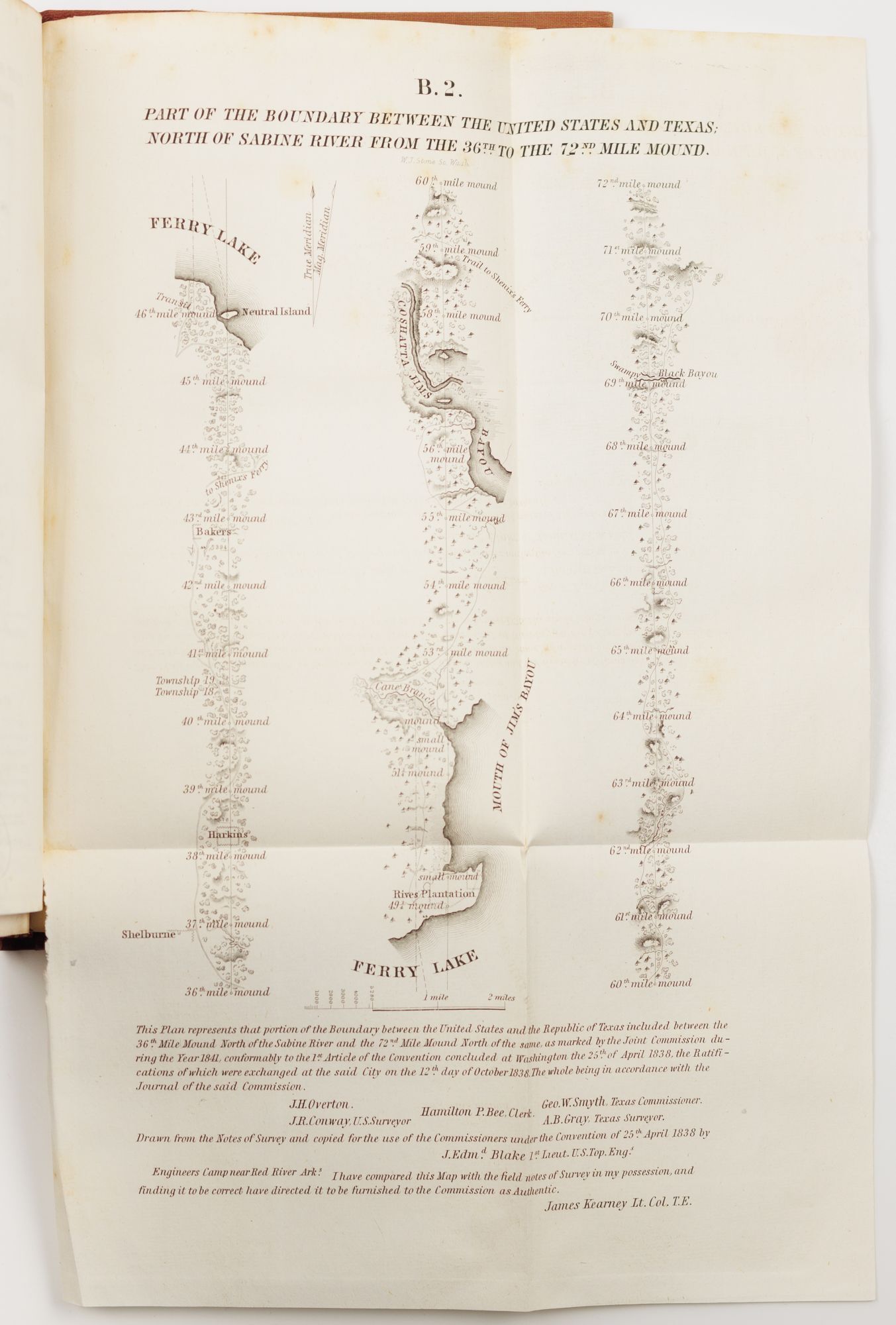
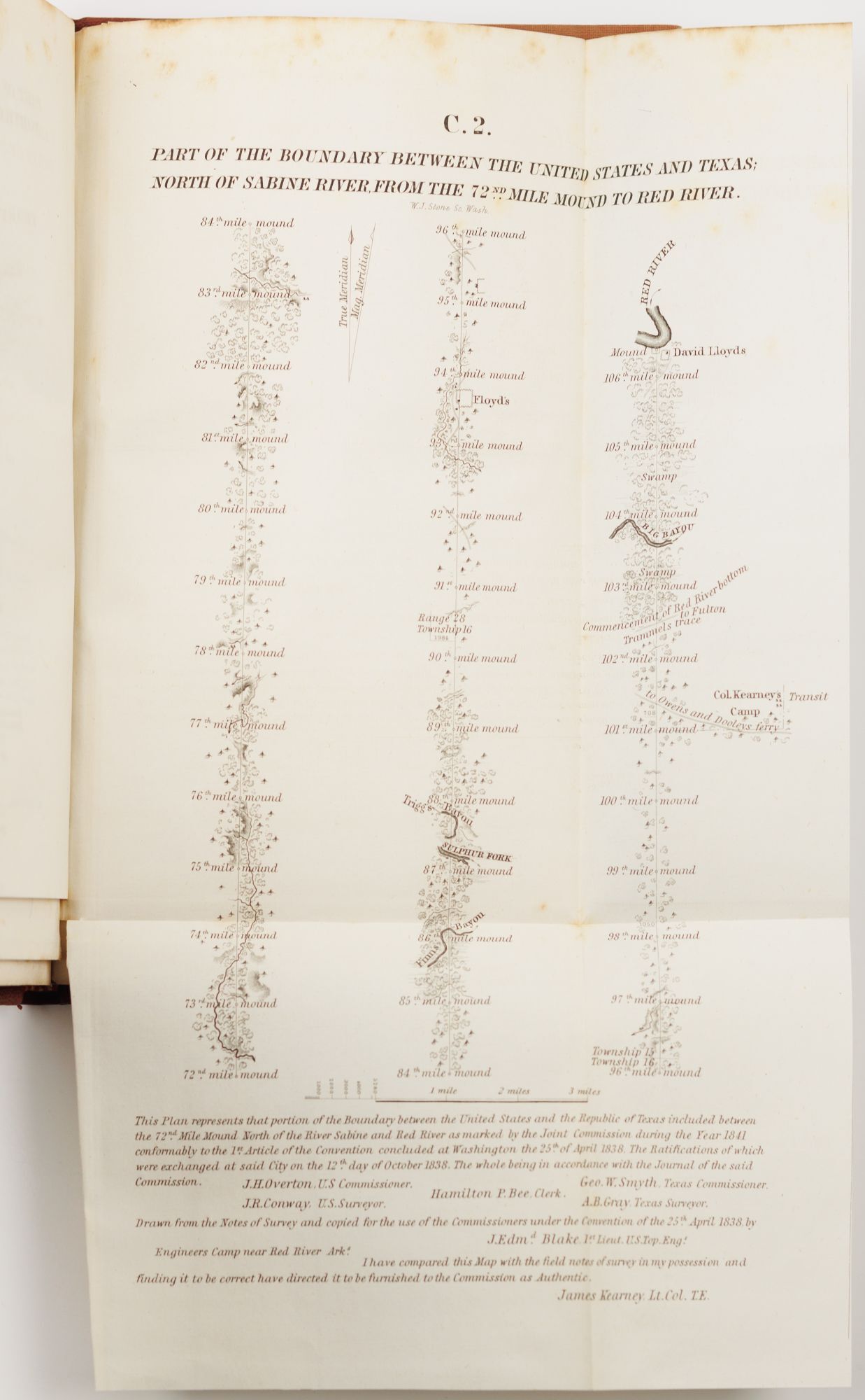
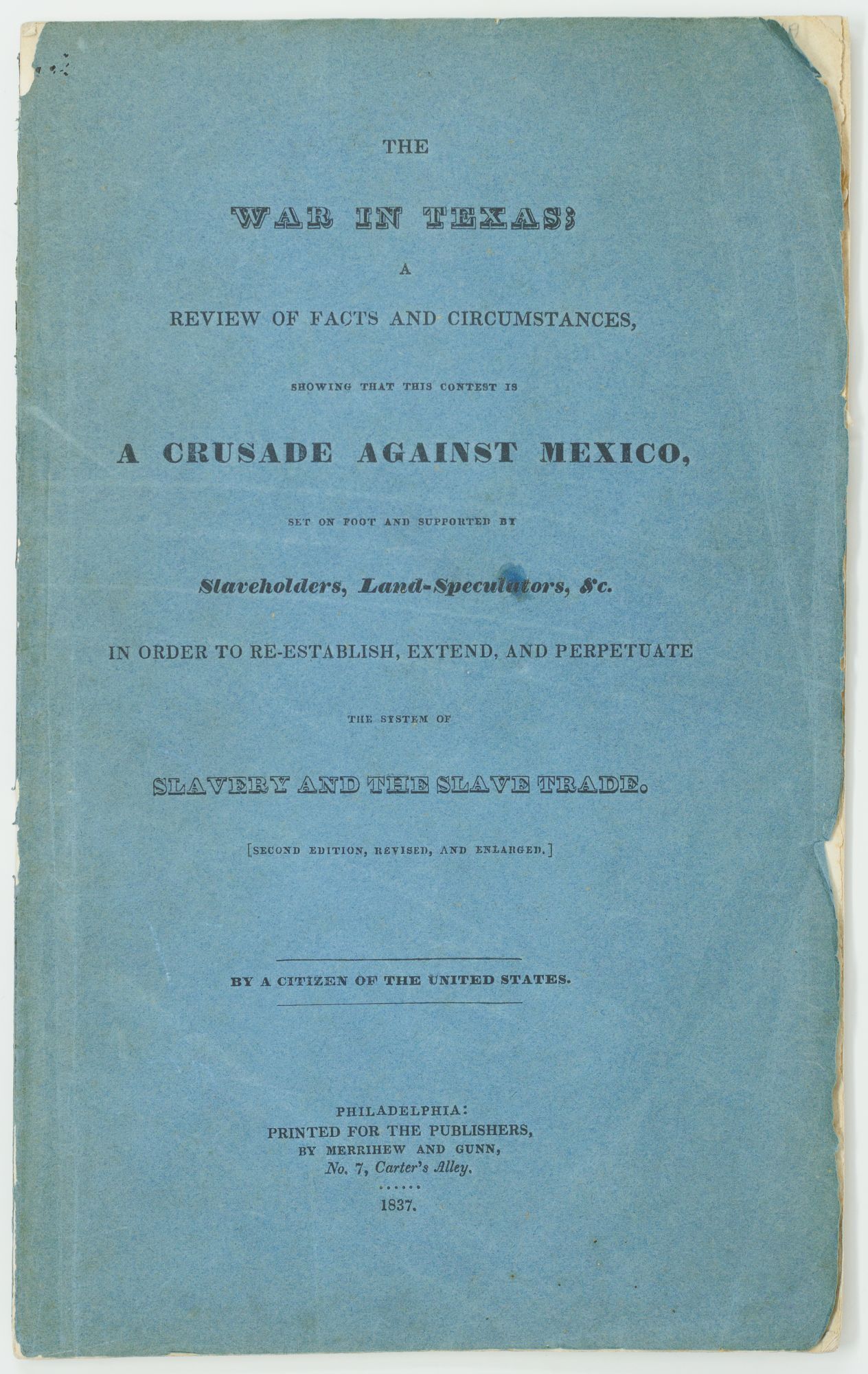
Critics of the Texas Republic abounded, especially in the North, a dark adumbration of the divisions that would lead to the Civil War. The objections were largely on abolitionist grounds. Mexico banned the slave-trade in 1819 and the institution in 1829 (granting an extension to Tejas until 1830). Austin, meanwhile, allowed the Old Three Hundred to buy 50 additional acres for every enslaved person they brought with them to Texas, and the tension with Mexico over the issue was a major contributing factor to the Texan secession. Two particularly loud voices against the Republic of Texas were Benjamin Lundy — of the Philadelphia A. S. (Anti Slavery) Society — and Nicholas Doran Maillard, a British lawyer who lived for several months in Texas and returned to London to publish abolitionist screeds discouraging the U.K. from recognizing the breakaway Republic. Lundy quotes authorities such as John Quincy Adams and Daniel Webster, whereas Maillard is a little more vitriolic, calling Texas “a country filled with habitual liars, drunkards, blasphemers, and slanderers, sanguinary gamesters and cold-blooded assassins” (p. 206). Maillard’s map also shows the absolute smallest territory of the Republic of Texas proper, acknowledging their weak hold on a good deal of land to the west and north.
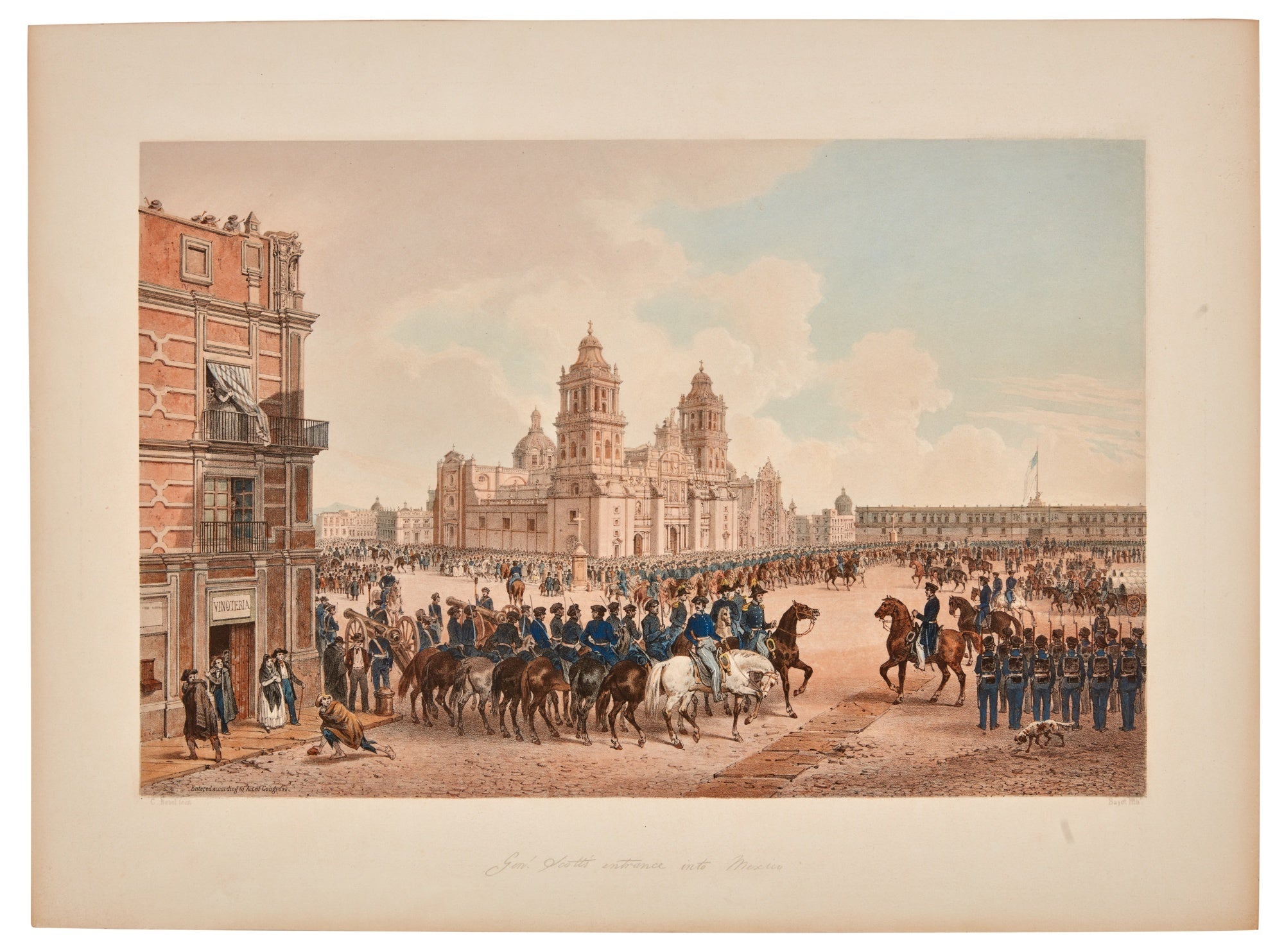
Once Texas joined the U.S. fully in 1846, the ignored border dispute with Mexico flared up, leading to the Mexican–American War of 1846 to 1848. (If you’ll forgive a momentary dip into the realm of pretty pictures, Kendall and Nebel’s War between the United States and Mexico illustrated is a particularly journalistic and pictorially-vivid account of the major events of those years.) The resolution of that war was the 1848 Treaty of Guadalupe Hidalgo, perhaps the most consequential law to affect the U.S.-Mexico border. With General Winfield Scott occupying Mexico City (Nebel’s view has become so identified with the occupation that it would be churlish not to show it here), the U.S. negotiated with a deeply disadvantaged Mexican government.
Mexico ceded 55% of its territory to the United States, encompassing the entirety of modern California, Nevada and Utah, much of Arizona and New Mexico and parts of Colorado and Wyoming, to the United States. The “Mexican cession” was a staggering diminution of territorial sovereignty.
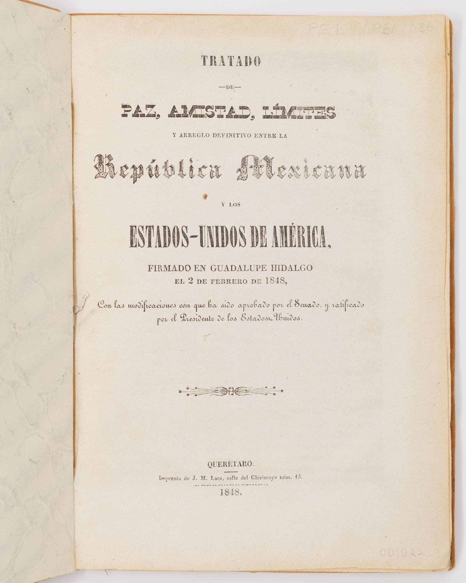
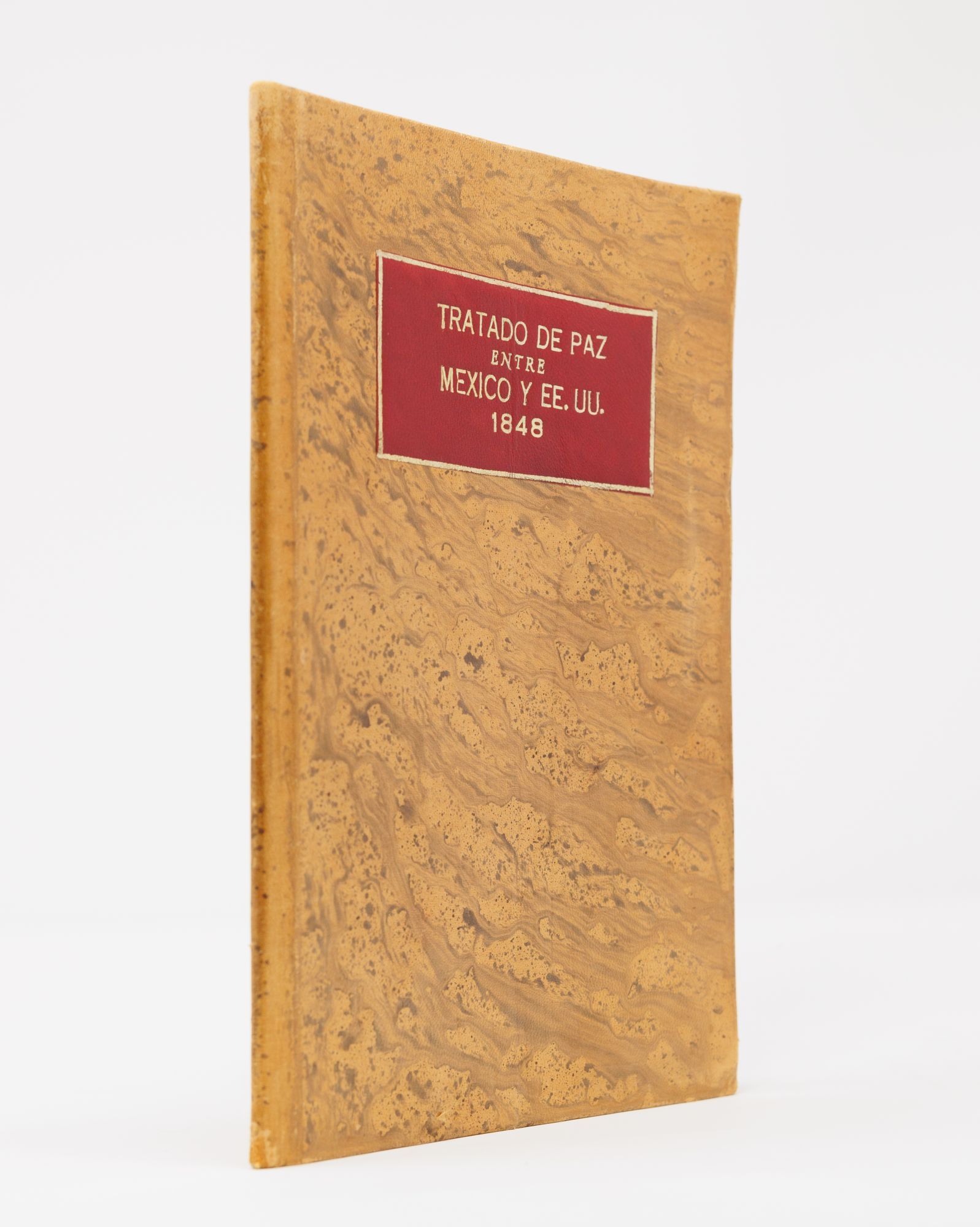
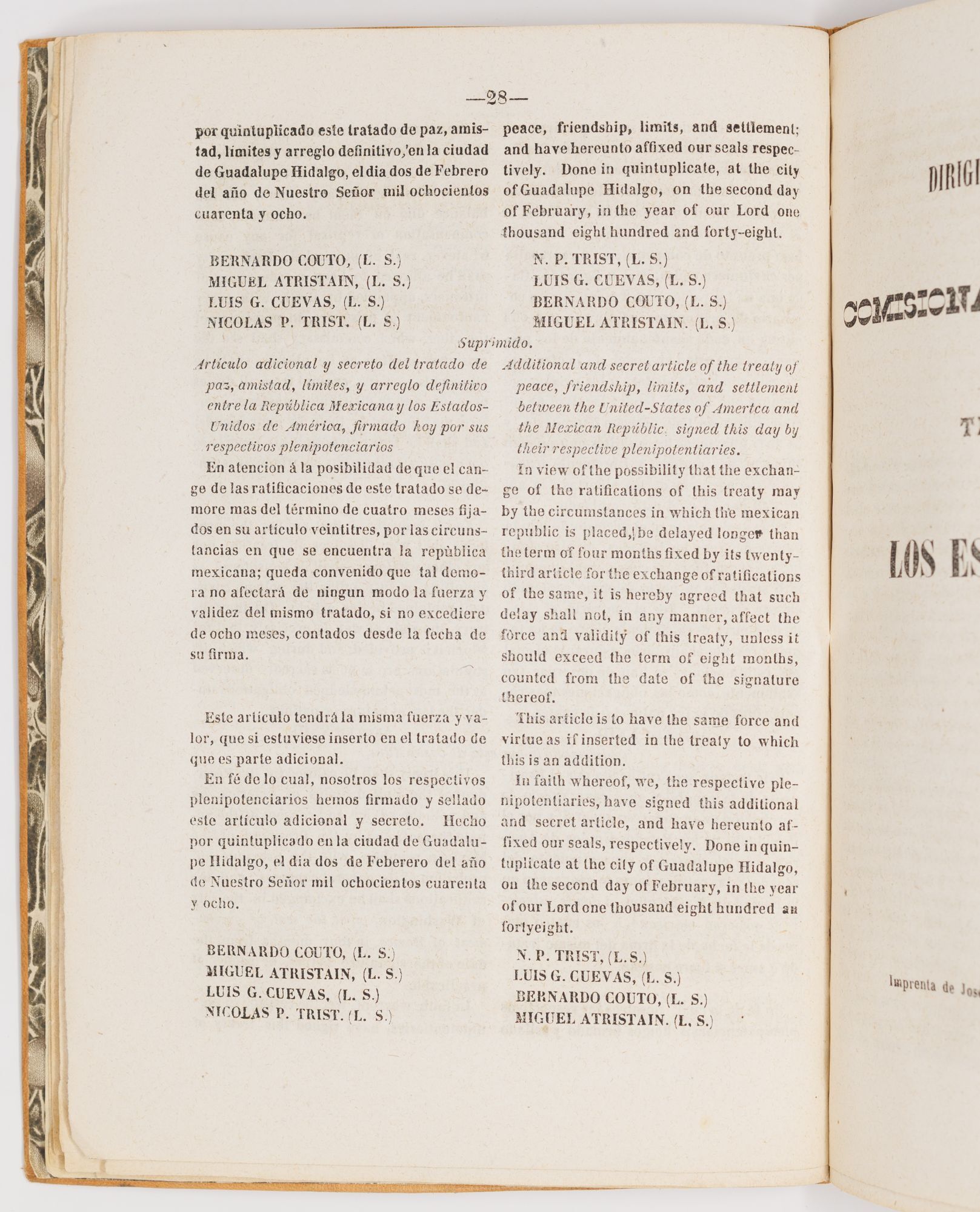
Our example of the treaty is the true first edition, printed in Santiago de Querétaro, the temporary seat of the Mexican government while Mexico City remained occupied. The consequences of the treaty are difficult to overstate. One particularly noteworthy provision of the treaty is the offer of full U.S. citizenship and rights to any Mexicans resident in the ceded territory who wished to remain — the beginning of the Chicano experience proper.
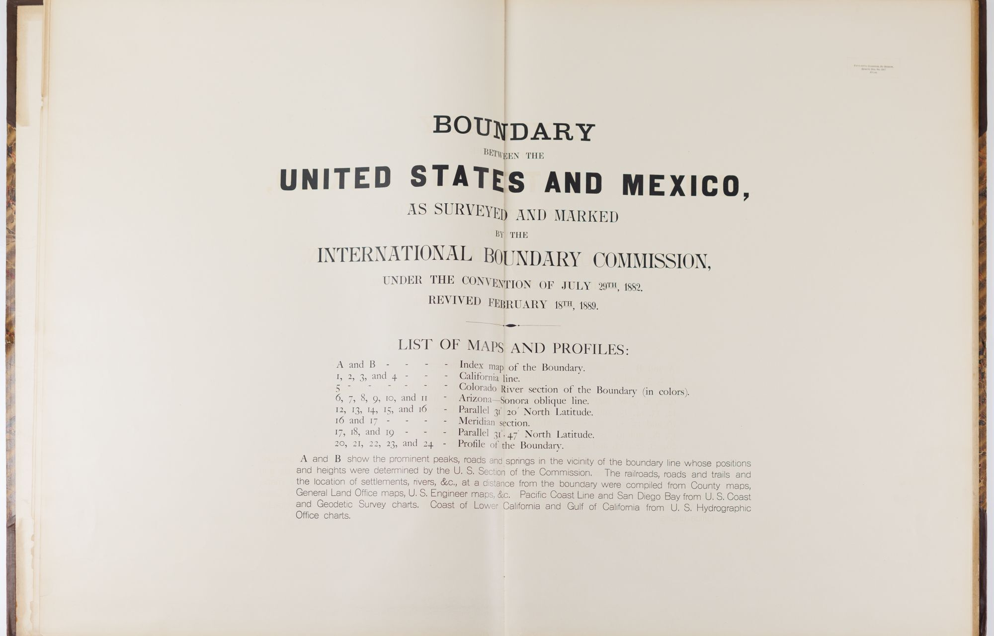
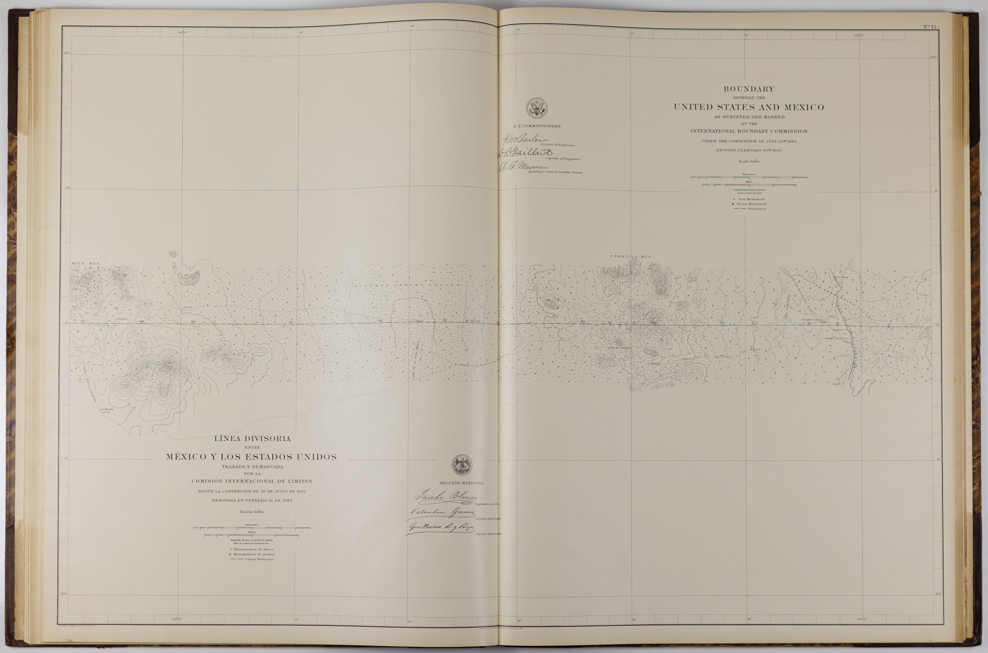
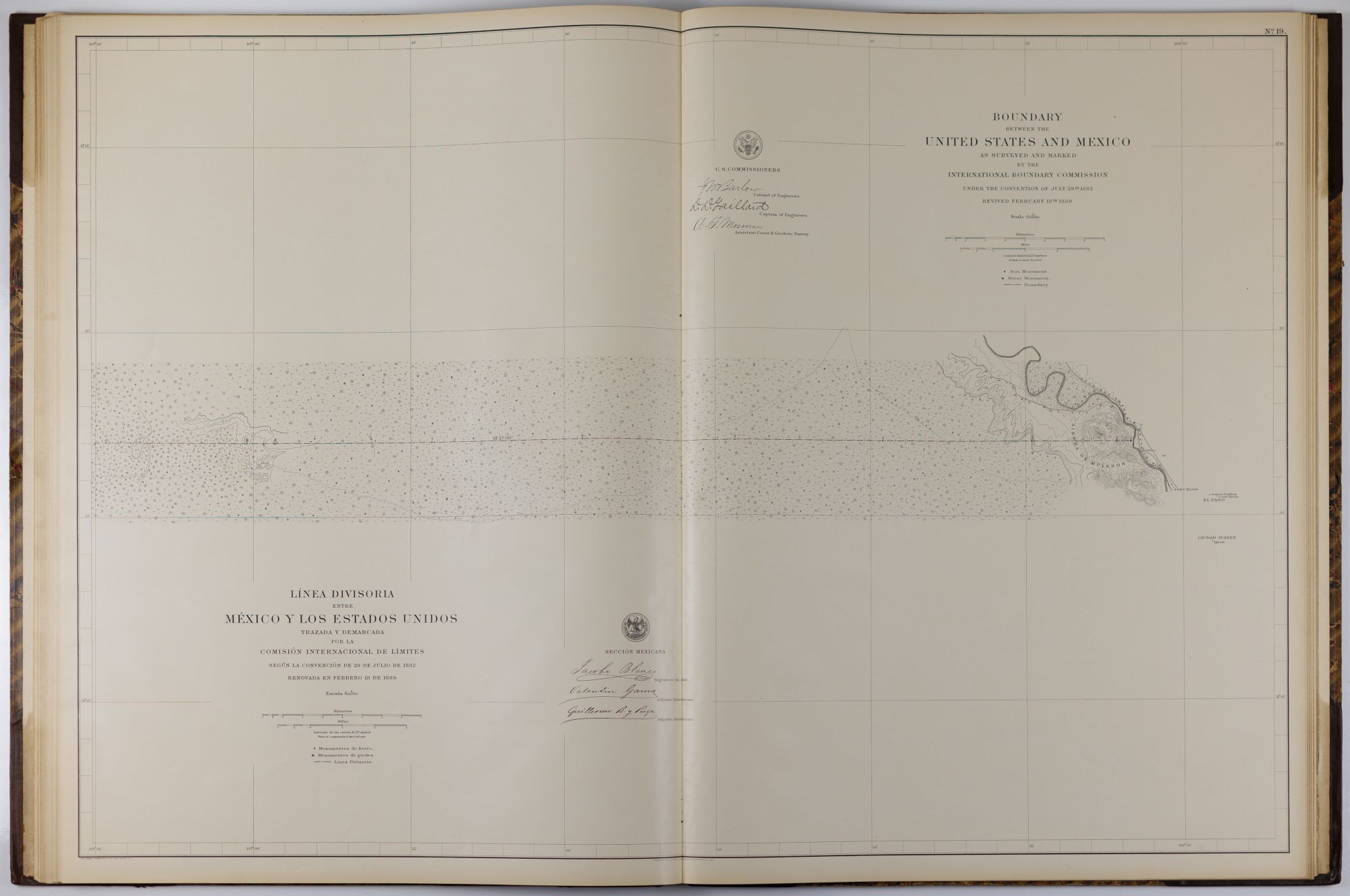
We end at the close of the XIXc, with a rather unexpected 1898/1899 atlas of U.S.–Mexico boundary. After a century of being bandied about by wars and laws, the border became subject to a much greater force: nature. Since the division between the nations was largely defined by rivers (the Colorado and the Rio Grande), the natural variance in the rivers’ courses affected — and continue to affect — the border. The International Boundary Commission (now the International Boundary and Water Commission) was set up in the 1880’s as a collaborative agency, jointly based in El Paso and Ciudad Juárez. This vast atlas — each chart being more than 2’ x 3’ — shows in granular detail the landmarks and monuments that define the border and explain its extraordinary complexity. The IBWC now principally regulates the disposition of water, perhaps an even more pressing concern than the exact placement of a line that has for so long been under dispute.